Ocoee River Hits Record 18.05 Feet, Closing Key Tennessee Roads
State Emergency Management activates Level 4 operations as flooding isolates Polk County and McCaysville, Georgia.
By Leah Thompson ·
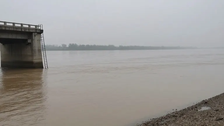
The Ocoee River in Copperhill reached a historic high of 18.05 feet at approximately 6 a.m. on Thursday. This measurement broke the previous record of 17.75 feet, marking the highest level for the waterway, which is known as the Toccoa River across the state line in Georgia.
Tennessee Emergency Management Agency officials activated the State Emergency Operations Center to Level 4 in response to the flooding in Polk County. The agency stated that water levels were expected to persist through the evening. Local authorities urged residents to avoid driving on flooded streets and to follow guidance from local officials.
The high water forced the closure of both bridges in Copperhill. The Polk County Road Department reported that a large structure detached from its foundation and hit Grassy Creek Road at Rogers Creek Bridge. State inspectors plan to examine the damage once the water recedes.
The impact of the storm extended across the state border into Georgia. McCaysville officials declared a state of emergency and closed the city to unauthorized personnel. They identified Highway 68 from Tennessee as a primary access point for those who must enter the area.
School closures affected multiple districts due to hazardous road conditions. Polk County Schools in Tennessee kept students out of class on Thursday. The closures also included schools in Fannin and Gilmer counties in Georgia. Crews are currently assessing the extent of the damage as conditions permit.
Source: WSMV-TV · original report published
More News · Nashville news · Report a business · Got a Story?