
Cold Front Brings Rain and 20s to Middle Tennessee
Showers arrive Wednesday night, followed by a sharp temperature drop that could produce the season's first hard freeze by the weekend.
By Mia Bennett ·
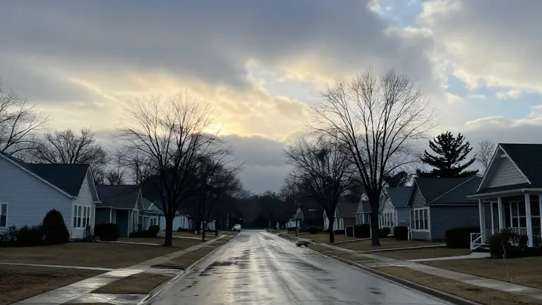
Rain returns to Middle Tennessee this week as a cold front moves through the region. The best window for precipitation will be Wednesday evening through early Thursday morning.
The days leading up to the storm system will be dry. Monday and Tuesday feature plenty of sunshine, with afternoon temperatures reaching the upper 60s to near 70 degrees. Clouds begin to increase on Wednesday as the weather system approaches from the northwest. While much of Wednesday stays dry, rain chances rise in the evening and continue into the overnight hours.
Showers are expected to move out of the area by Thursday morning as the front pushes east. Some lingering showers may develop in northeastern Middle Tennessee, but widespread rainfall is not expected to persist. A few thunderstorms are possible, though widespread severe weather is not anticipated at this time.
Temperatures drop significantly after the rain arrives. Wednesday highs reach the upper 60s to near 70 degrees. By Thursday, temperatures struggle to climb out of the 50s. Friday is even colder, with afternoon highs not expected to break the 40s for everyone.
The coldest temperatures occur in the early morning hours of the weekend. Most areas wake up in the 20s on Saturday and Sunday mornings. This drop brings the potential for Middle Tennessee's first hard freeze of the season.
More News · Nashville news · Report a business · Got a Story?