Snow Levels Drop to 6,500 Feet in Arizona as Storm Approaches
The Valley sees light rain this week, but a colder system brings measurable snow to the high country by Tuesday.
By Gavin Wilson ·
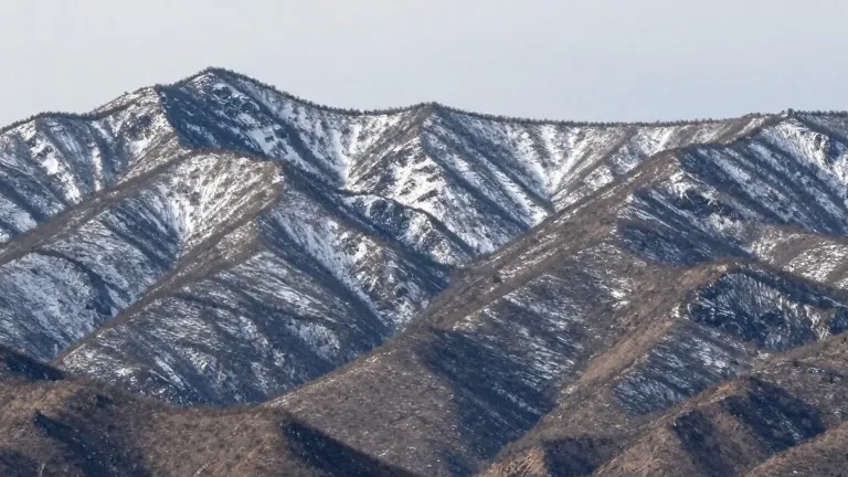
Snow is expected to reach elevations as low as 6,500 feet by Tuesday, according to a forecast issued by KTVK. This colder storm system marks a sharp change from the current mild weather in the Phoenix area.
Friday is designated as a First Alert Weather Day. Skies will remain partly cloudy through the morning before becoming mostly cloudy by afternoon. Showers are possible this afternoon and evening, though accumulation will be minimal. The Valley is likely to see one-tenth of an inch of rain or less. High temperatures will cap out near 77 degrees.
Saturday brings a slight chance of light morning showers that should end by early afternoon. The rest of the day will remain dry with a high of 72 degrees. In the high country, snow levels will stay above 8,000 feet during this period.
Sunday and Monday are expected to be mostly dry across the state. However, rain chances return on Monday night as the front advances. Tuesday is also a First Alert day, with rain likely in the Valley and thunderstorms possible.
Temperatures will drop statewide on Tuesday. Valley highs will fall to the low 70s, followed by upper 60s on Wednesday. This cooling trend accompanies the lower snow levels that will affect higher elevations on Tuesday.